Category Archives: Queens

Queens

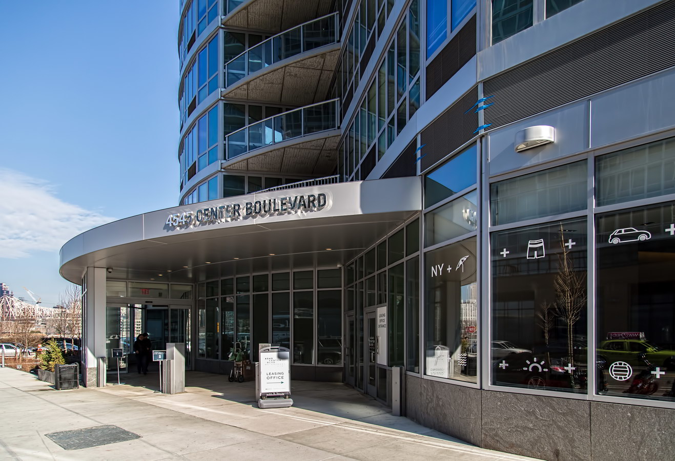
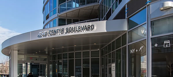
4545 Center Boulevard

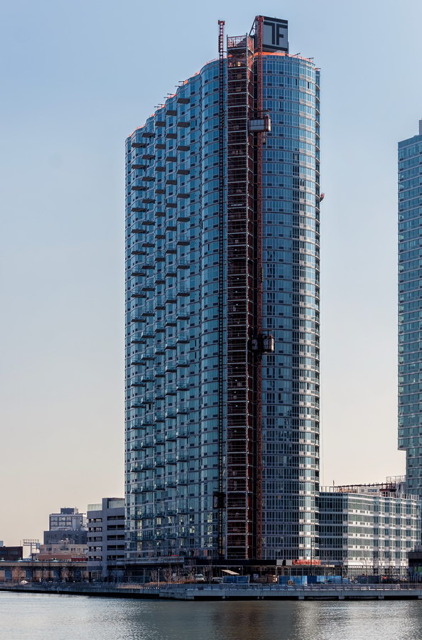
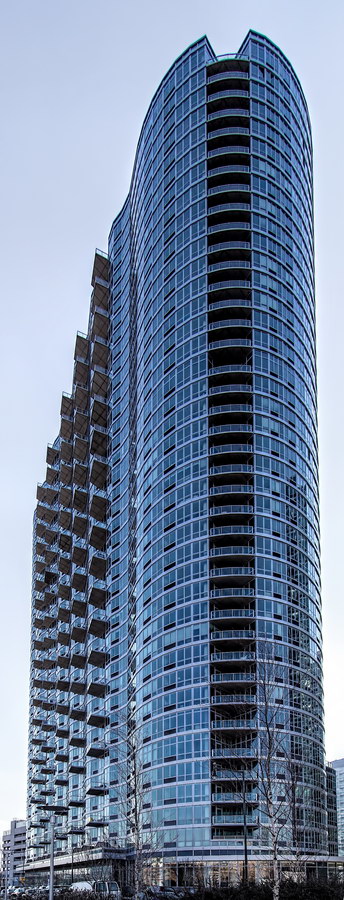
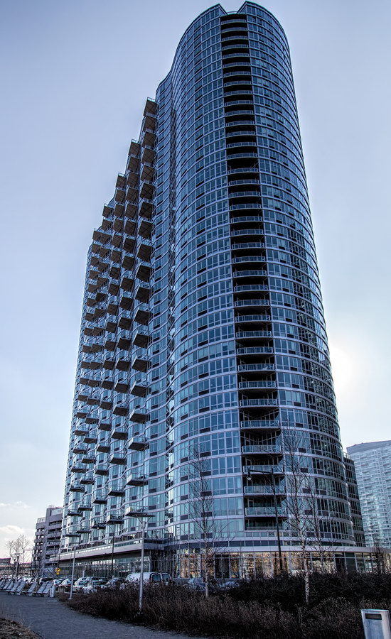
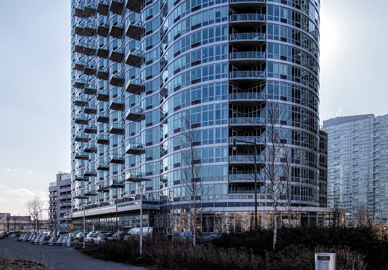
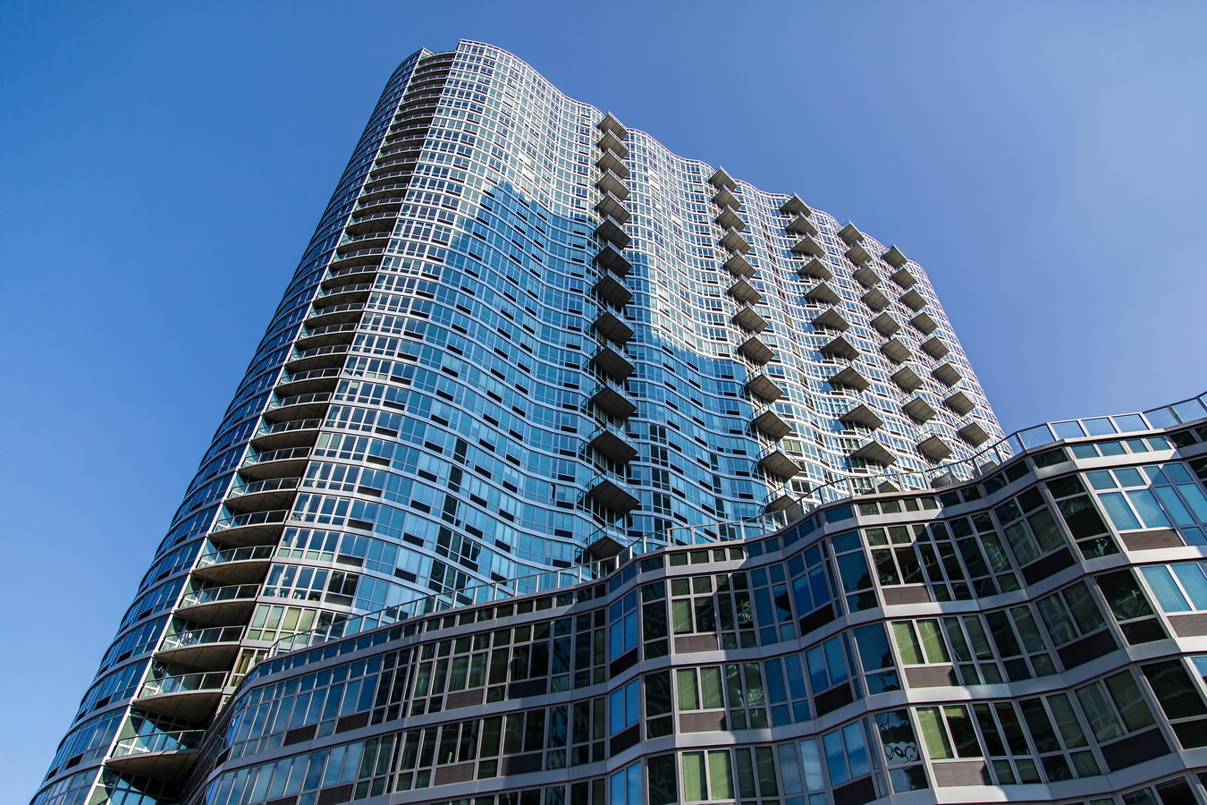
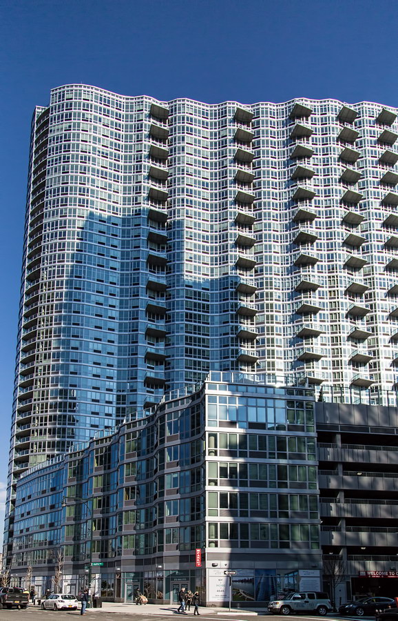
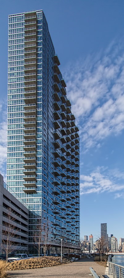
4545 Center Boulevard is a new (still leasing at this writing) apartment tower in Long Island City designed by Miami-based Arquitectonica. The balcony-studded, rippled glass facades rise 40 floors over the East River, part of the Queens West development behind the giant Pepsi sign and Gantry Plaza State Park.

An attached six-story parking garage/amenities center is topped by a 50,000-square-foot “amenity deck” indoor/outdoor recreation area, replete with deck chairs.

This was the last of five towers along three blocks developed by TF Cornerstone. (TF stands for Tom and Fred Elghanayan.)

4545 Center Boulevard Vital Statistics
4545 Center Boulevard Recommended Reading

Google Map

PS 1

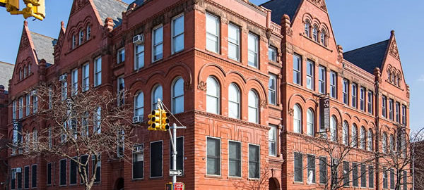
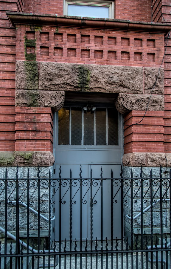
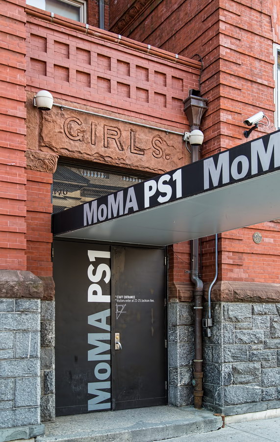
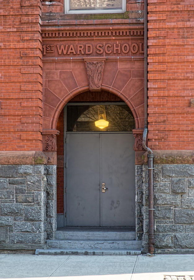
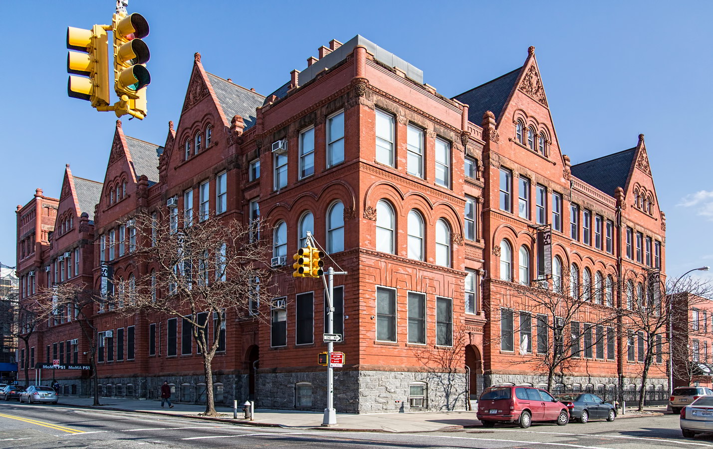
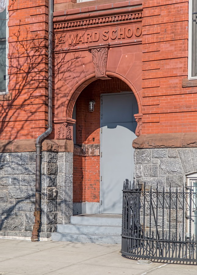
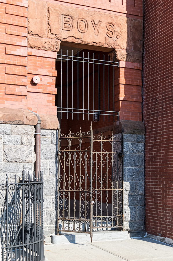
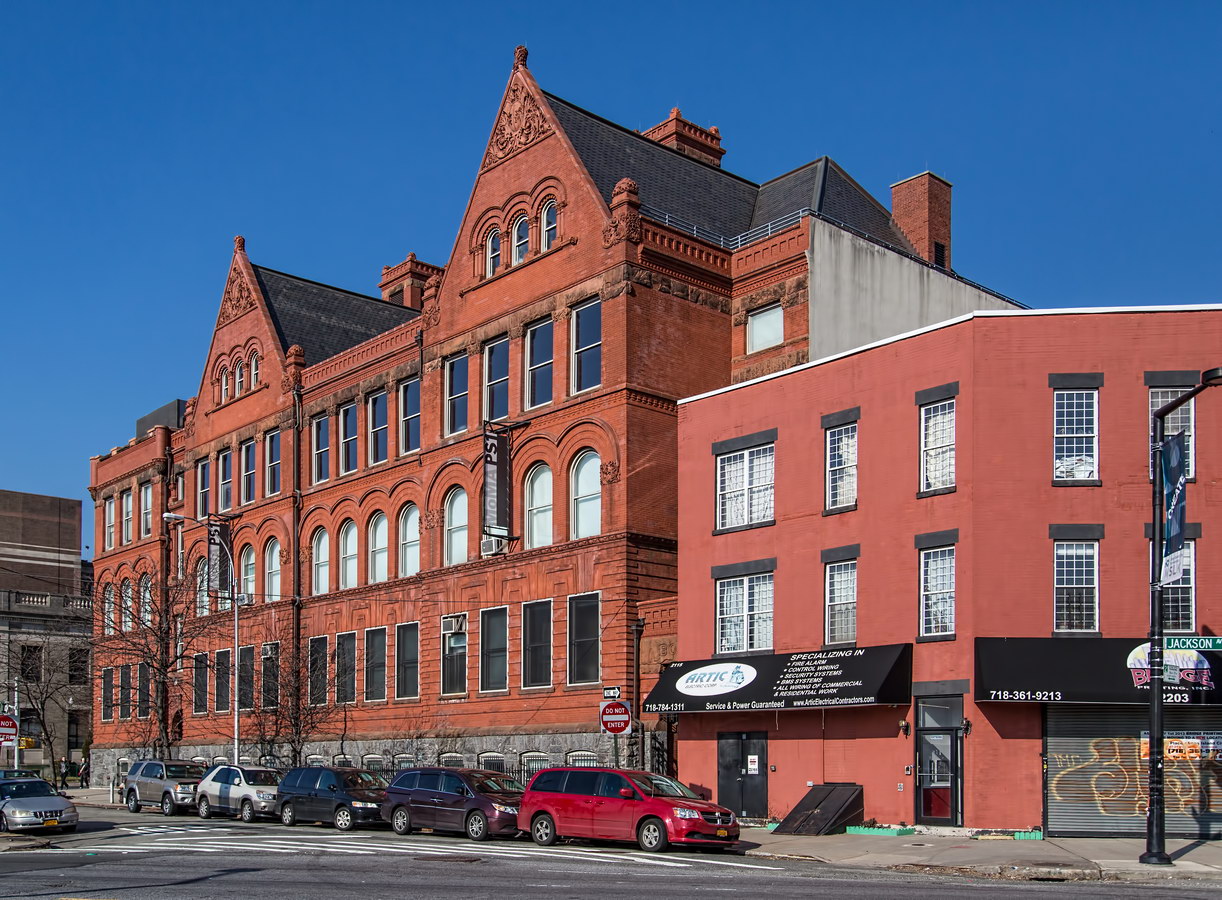
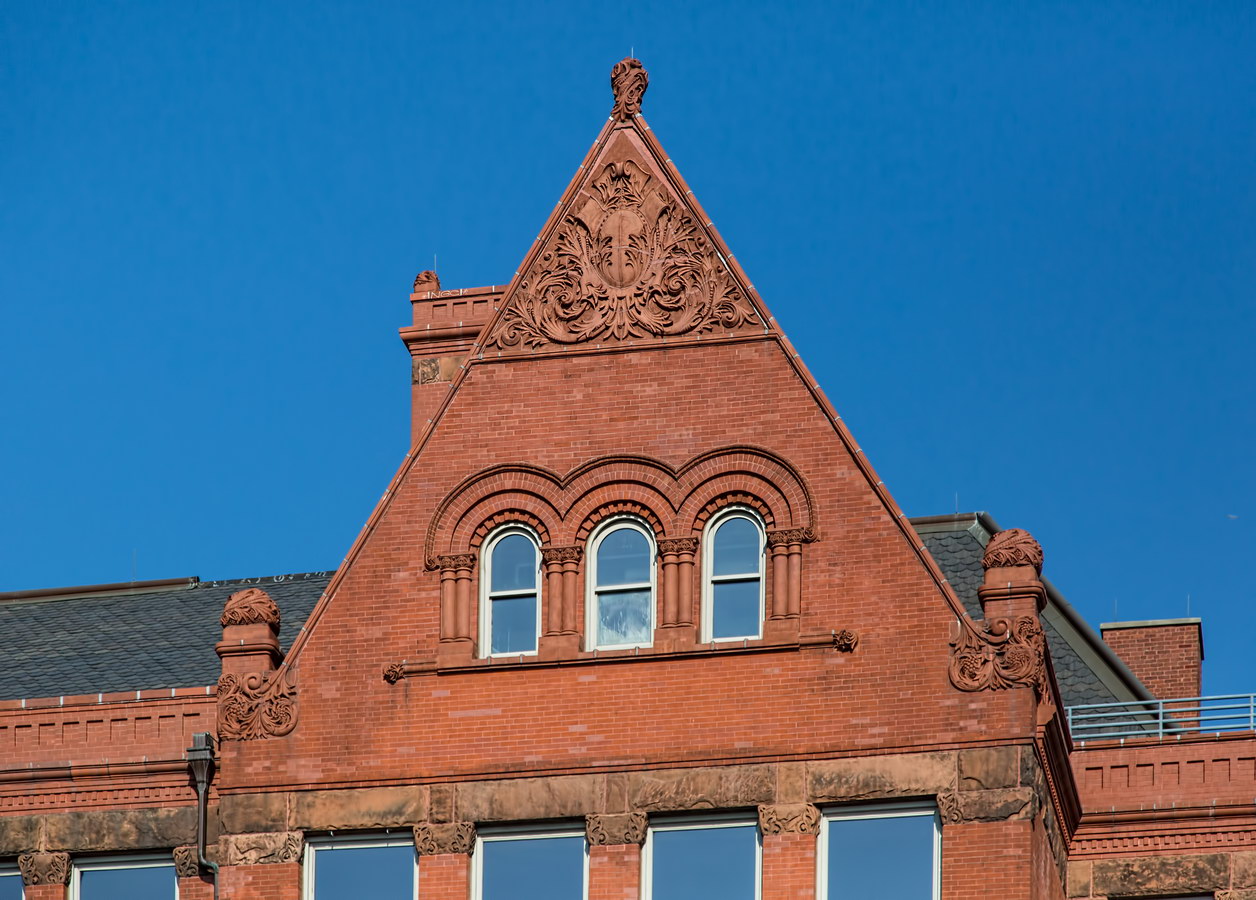
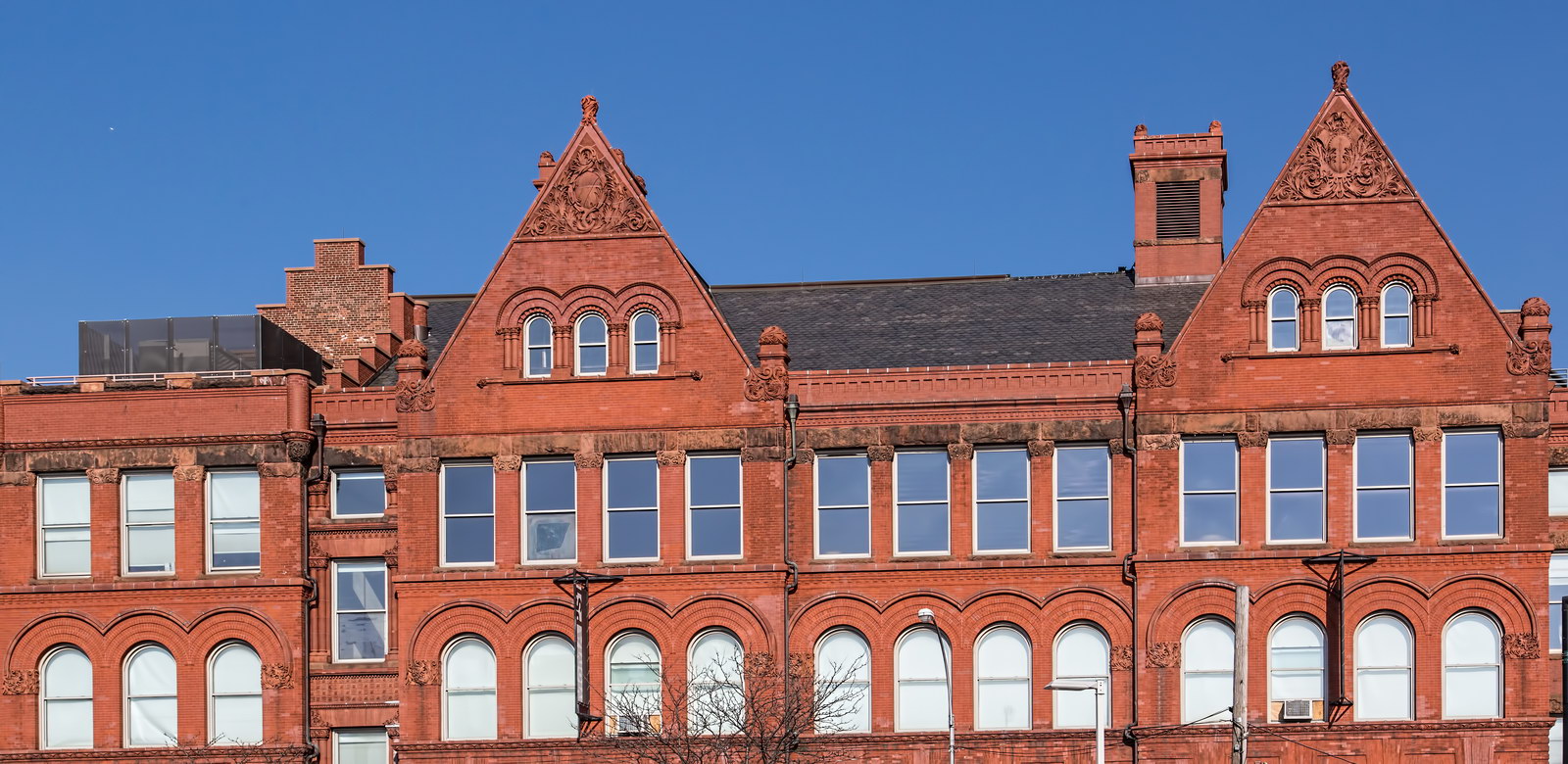
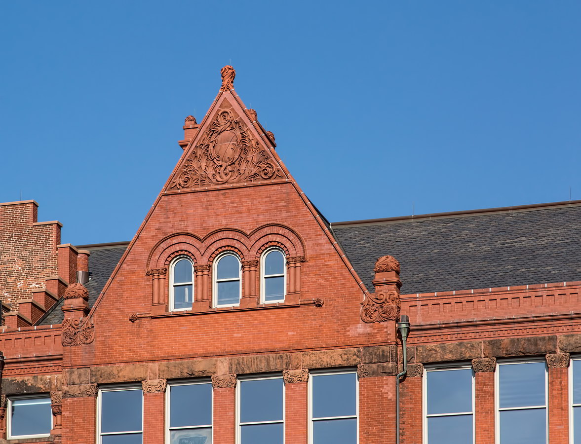
PS 1, originally First Ward School, was built in 1892 when Long Island City was actually an independent city. The building’s 35 classrooms were supplemented with a new wing in 1905, which added 21 classrooms. New York City still owns the building.

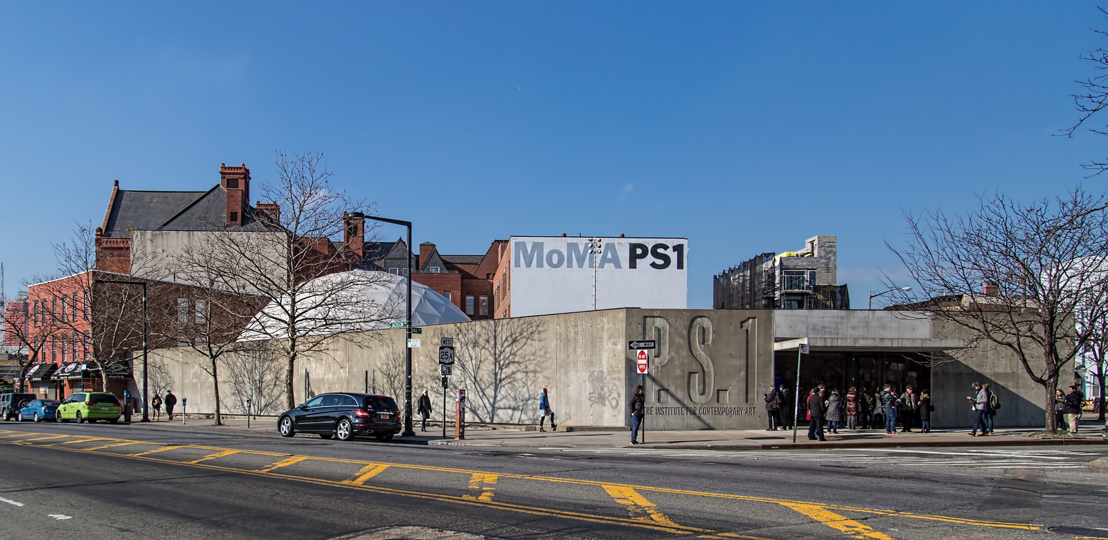
The square tower at the building’s southwest corner originally had a clock and bell. The school closed in 1962; in 1978 the NYC Institute of Contemporary Art reopened the building as “Project Studios One” gallery and studio space. The Museum of Modern Art took over the museum (via merger) in 2000. MoMA appended a cast concrete entrance building to the site’s northeast corner in 2011.

The restored red brick and terra cotta structure is a joy to look at, but the concrete addition seems to shout, “Mr. Gorbachev, tear down this wall!”

PS 1 Vital Statistics
PS 1 Recommended Reading

Google Map

Long Island City Walkabout

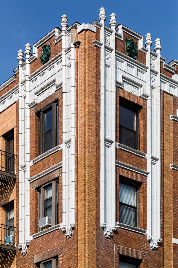
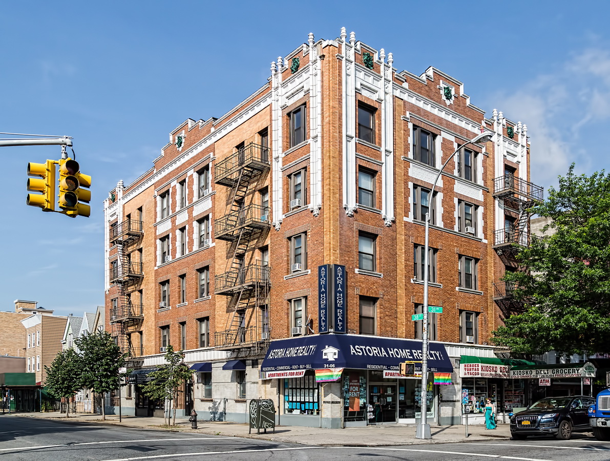
This post started as a simple collection of interesting architecture in my neighborhood, Long Island City / Astoria. Then I found a couple of oddities that roused my curiosity.

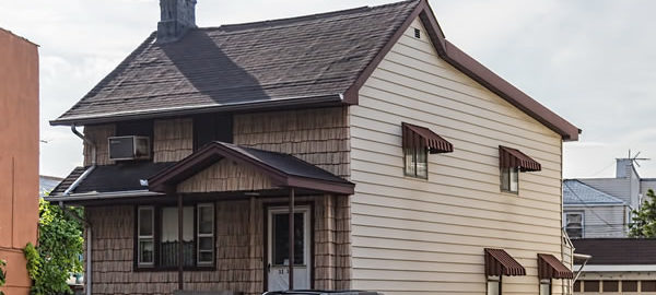
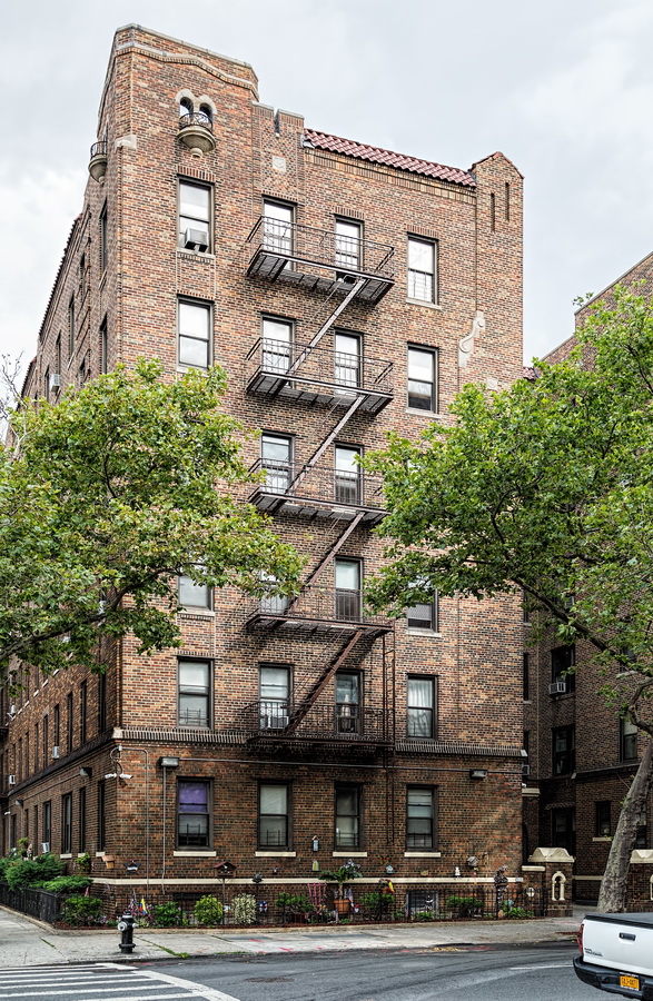
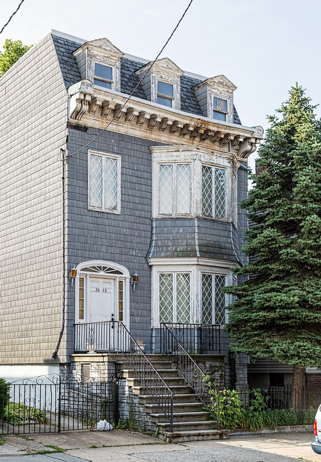
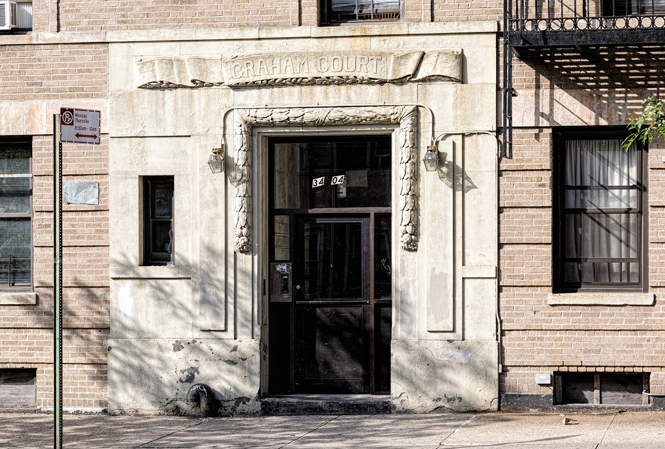
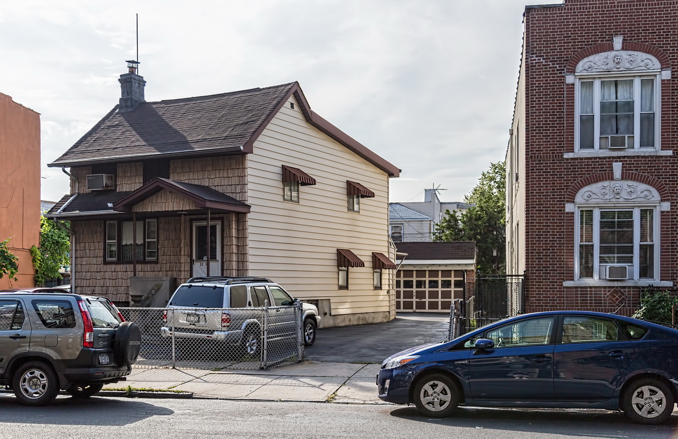
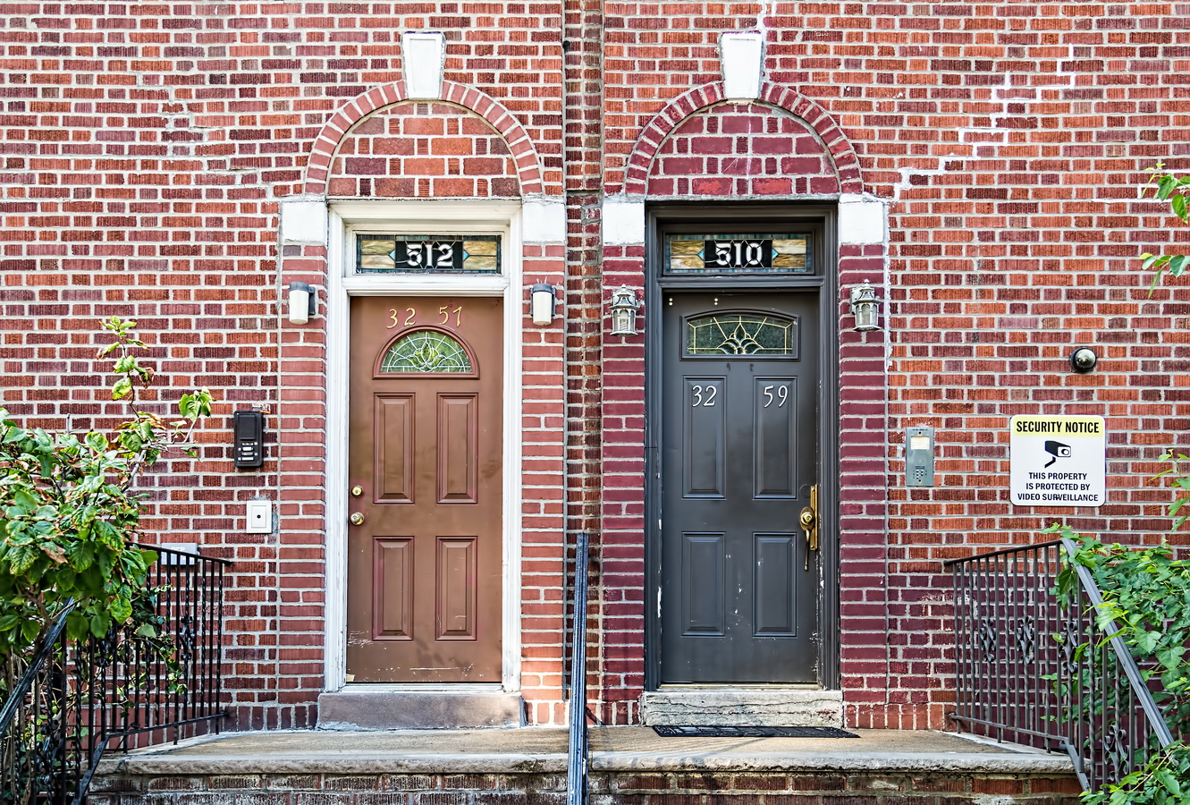
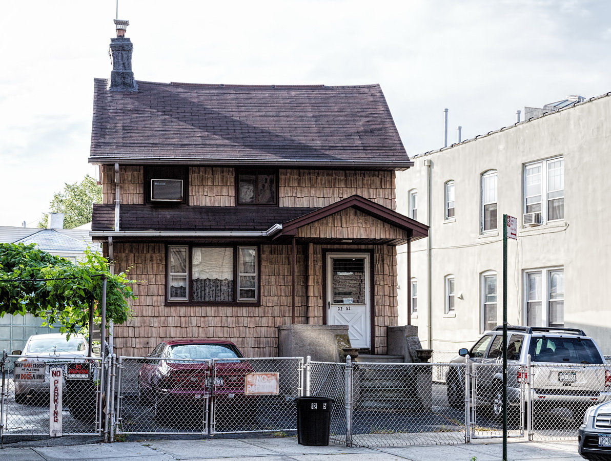
On the east side of 33rd Street between 34th Avenue and Broadway I found an old two-story wood-frame house, clad in cedar shakes, built diagonally across the lot. That was odd in itself, but right next to it were a pair of low-rise brick apartment buildings with two sets of house numbers. A resident of the block told me that the oddly-angled house was originally a farmhouse, built before there were streets in the area. He had no explanation for the double-numbered buildings.

According to the online New York City Map, the “farmhouse” 32-53 33rd Street was built in 1901. So I looked online for 1900s maps of Long Island City. I found maps – but the street names were all different. Ultimately I found the odd-angled house on every map going back to 1865. It was in what appeared to be undeveloped land (a farm?).

Now, for the mystery house numbers. The street names changed over the years. Today’s 33rd Street was originally Rapelje Avenue and later Fourth Avenue. As it happens, Queens renamed most of its streets between 1915 and 1926, assigning new house numbers at the same time. In 1925, 510 and 512 Fourth Avenue became 32-59 and 32-57 33rd Street, respectively.

As anyone who has driven across Queens can tell you, the borough’s streets are a mess! Streets, avenues, drives, lanes, roads, and terraces meet and cross at odd angles, as if planned by someone with right-angle phobia. Only history provides an explanation. What we now call Queens was originally a collection of 60 villages, each with its own street plan more or less parallel with the nearest body of water (as waterfront property was first to be developed). As the villages expanded their streets began to merge – at odd angles.*

That led to other problems: Streets abruptly changed names at village borders. And there were duplicate names – 10 “Main Street” thoroughfares, and about 30 named for President Washington.

In 1911 the borough created a master plan for a numbered street system – just as Manhattan had 100 years earlier. The full story is well told at Bringing Order Out of Chaos in Street Naming and House Numbering.

If you’re curious about a street’s former name(s), see Queens Street Names.

Historic Map Works is a good source of old maps, or you could just do a Google image search.

The old street names live on in the names of old buildings, businesses – and the subway system. The G, N/Q and 7 lines still have platform signs such as “36th Street – Washington” recalling names that expired a century ago.

* I call this the ice cube theory of street planning. Like water in an ice cube tray, the structure solidifies at its edges first, crystallizing inwards.

Recommended Reading

Google Map
Poppenhusen Institute

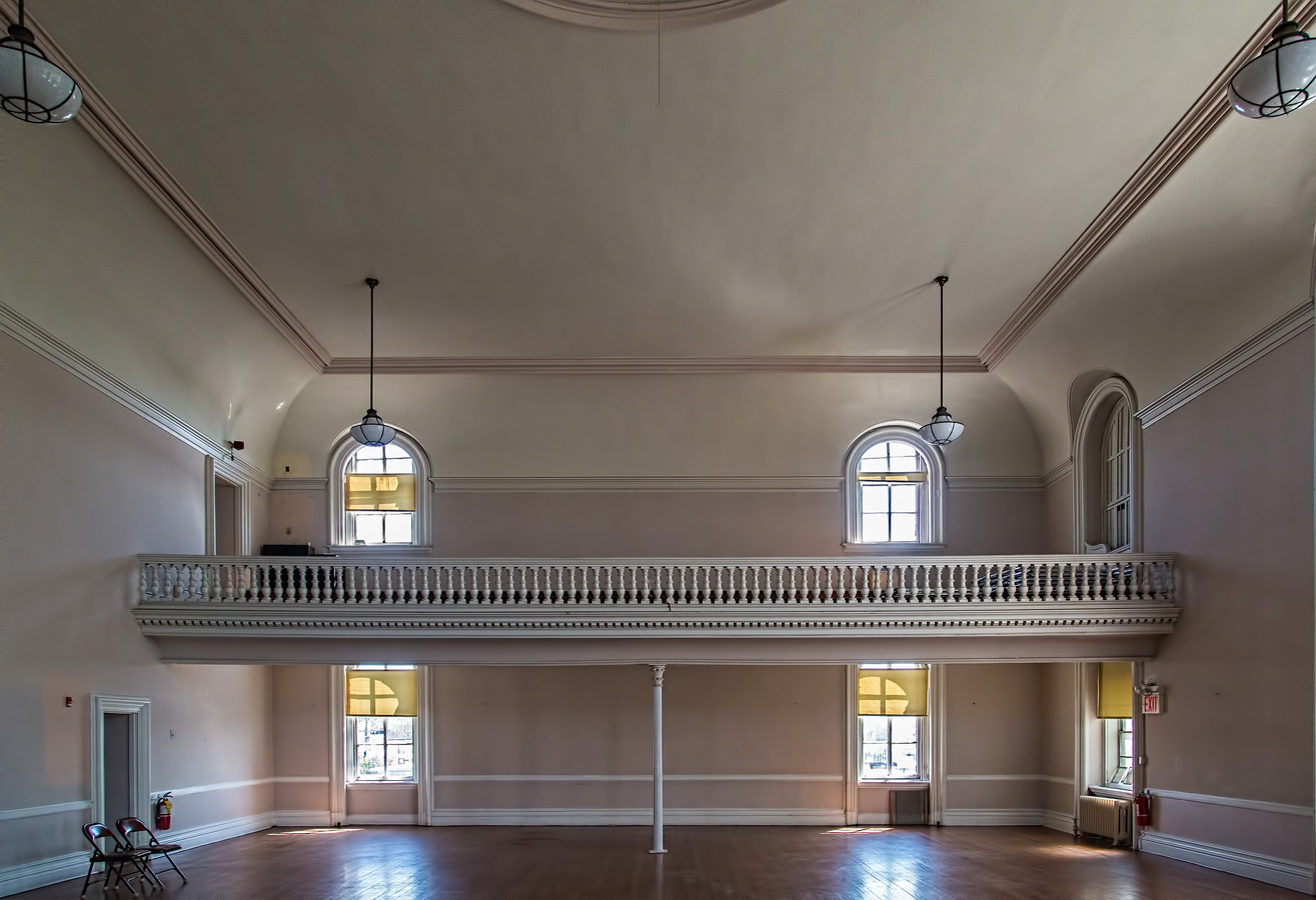
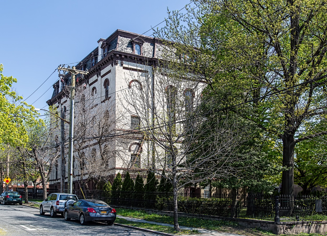
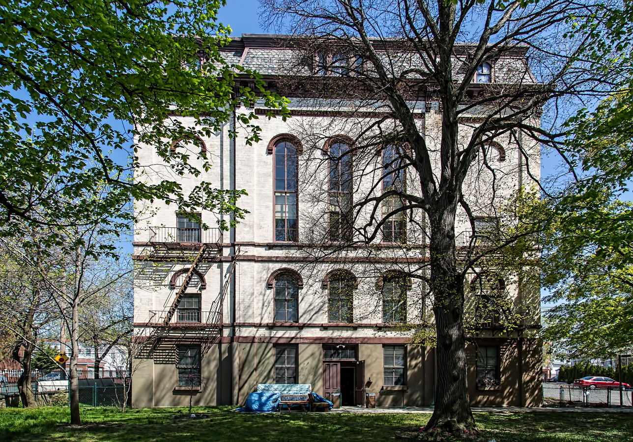
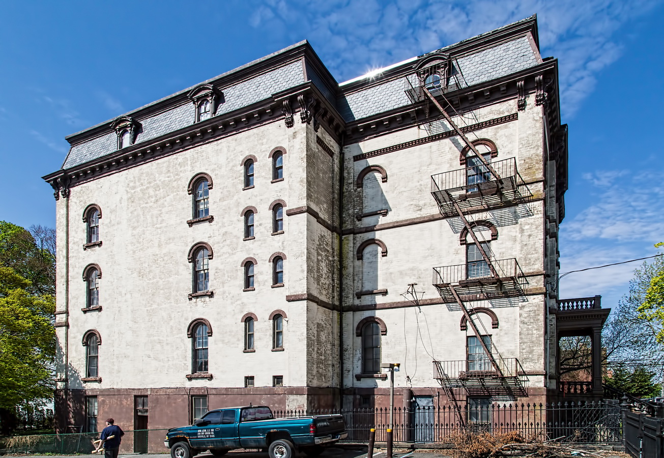
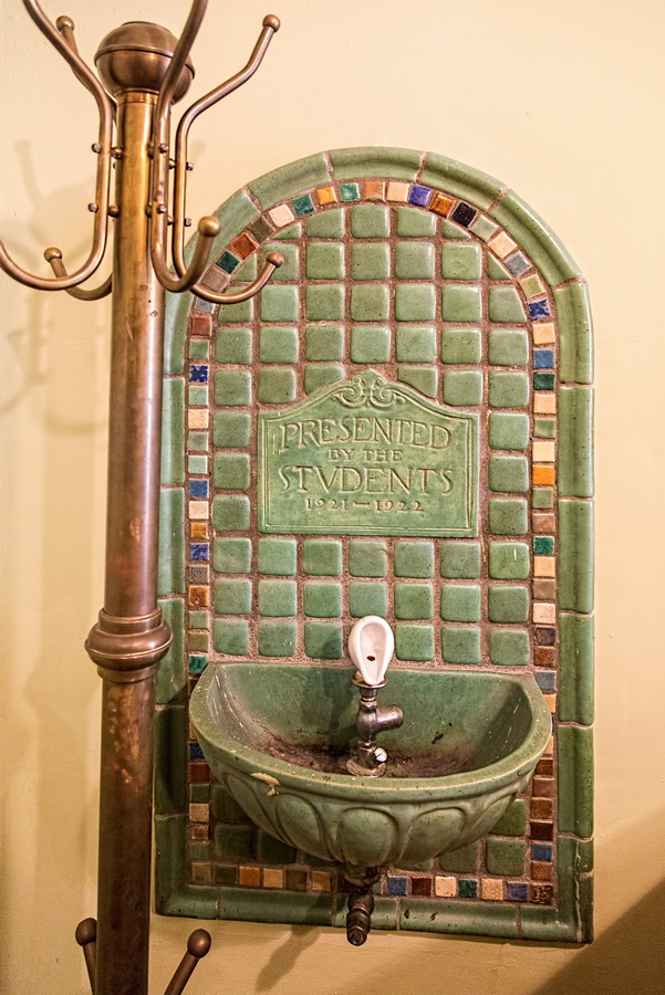
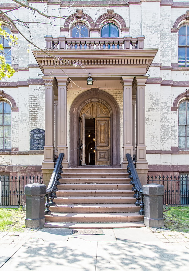
Poppenhusen Institute represents not only post-Civil War architecture in New York, but also the amazing power of a single individual. Or two.

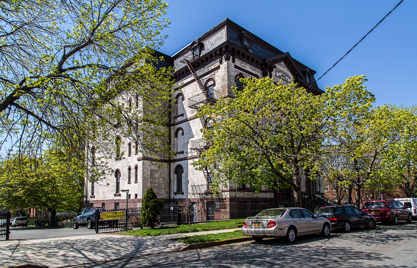
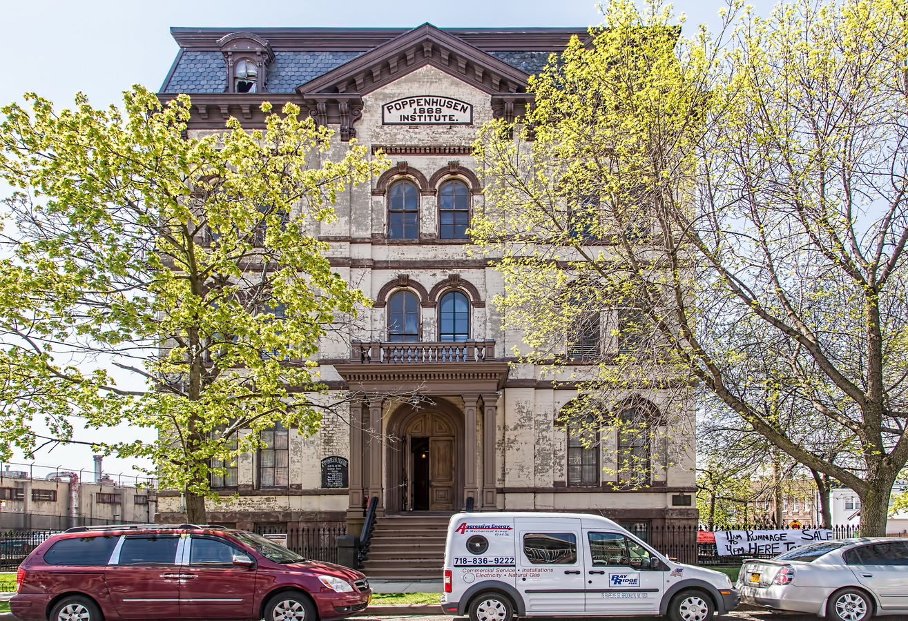
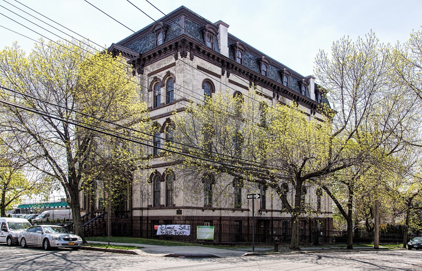
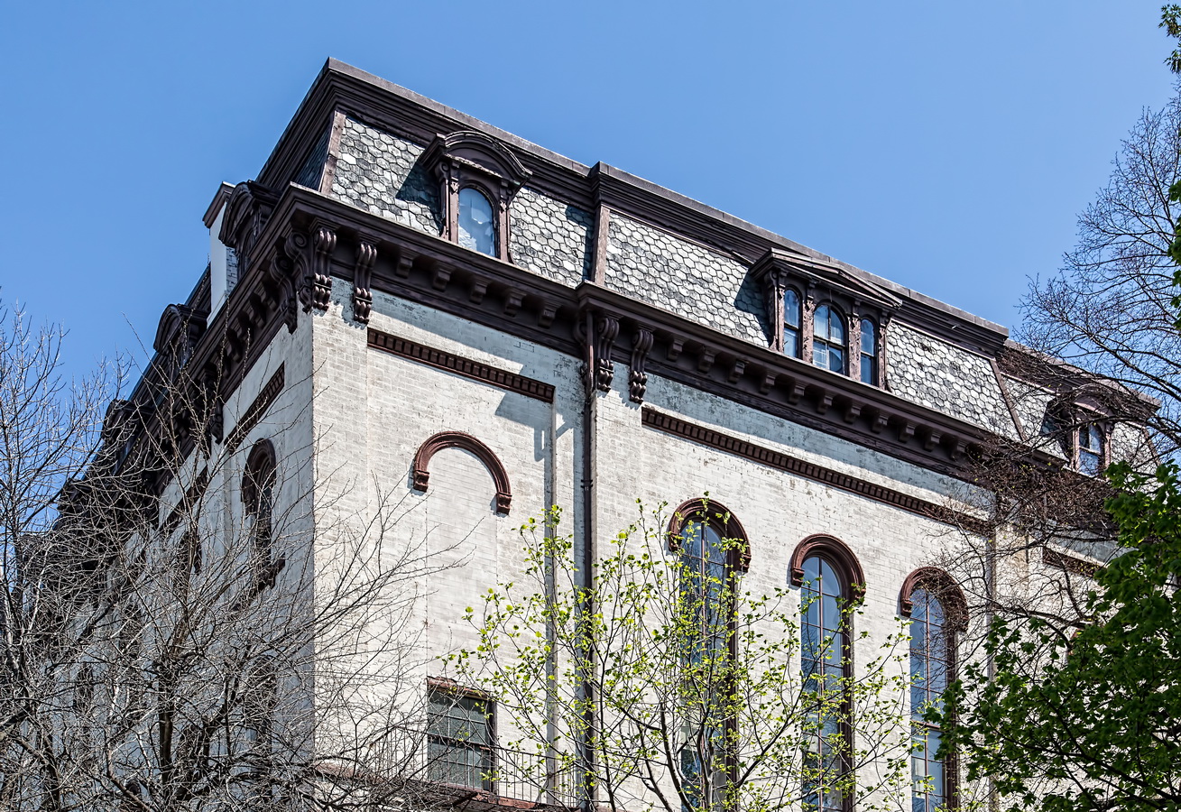
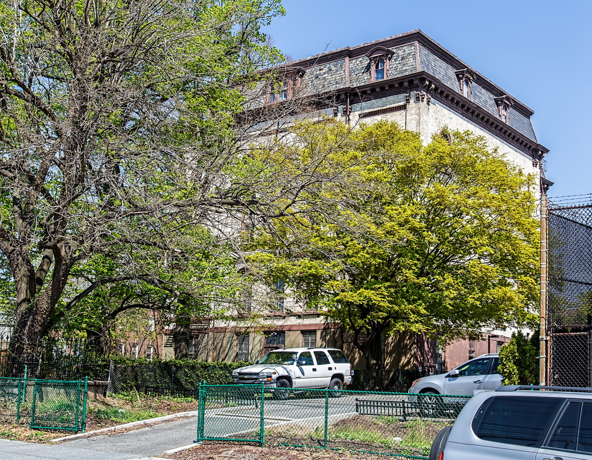
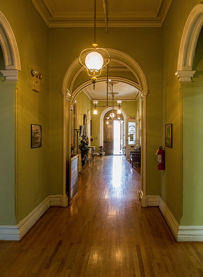
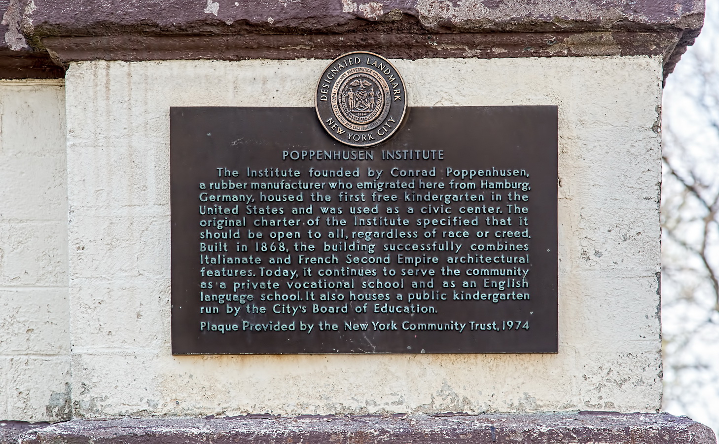
A modest brick and brownstone building, the Institute is five stories high including its mansard roof. Round-arched windows and strong horizontal bands mark it as Italianate style, while the mansard roof crowns the building in French Second Empire.

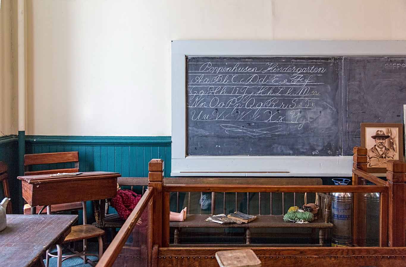
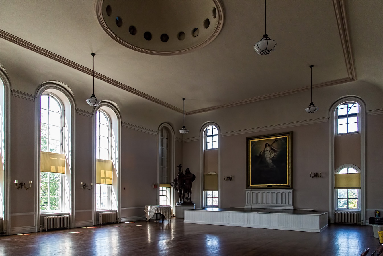
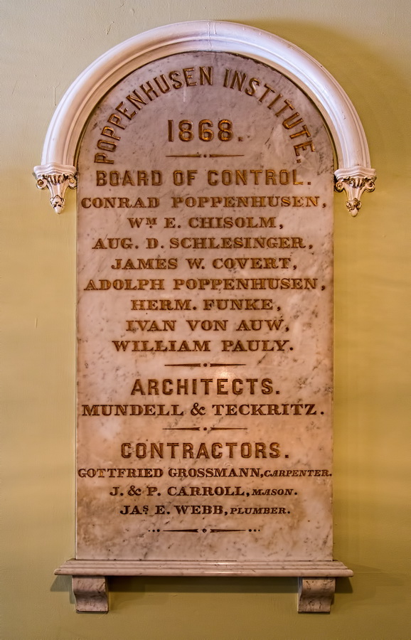
Conrad Poppenhusen, a German immigrant, became wealthy in the 1800s manufacturing whalebone products: combs, corset stays, etc. In 1852 he switched from whalebone to the just-invented Goodyear-process hard rubber. Poppenhusen’s factory was in what is now College Point, and he was dedicated to the welfare of his community. So dedicated that in 1868 he gave $100,000 to build the Institute, and in 1871 another $100,000 endowment to maintain the building and its work. That work included the country’s first free kindergarten (a German invention, after all), free vocational classes for adults, library, and civic center.

The generous endowment couldn’t last forever. By 1980 the Institute’s Board of Control, after selling art works and other assets, decided to sell the building. Enter Susan Brustmann, who proved to be just as dedicated as Conrad Poppenhusen to continuing the Institute. She organized a grass-roots fight to save and restore the Institute and to this day continues to fight for financial support – NY State assistance ended in 2008. (See Christopher Gray’s Streetscapes column. See the Queens Tribune story for an update.)

The Poppenhusen Institute continues to offer community services, exhibits, classes and events; the Institute is open weekdays – check the website for details. The Institute is close to Flushing’s historic sites and Chinatown (there’s frequent Q65 bus service to/from Main Street).

Poppenhusen Institute Vital Statistics
Poppenhusen Institute Recommended Reading

Google Map