Every building has an entrance; some are more distinctive than others. Some are modest, some are grandiose; some blend in with their facades, some are colorful attention-getters. Here are some of my favorite doors.
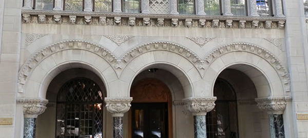

Every building has an entrance; some are more distinctive than others. Some are modest, some are grandiose; some blend in with their facades, some are colorful attention-getters. Here are some of my favorite doors.
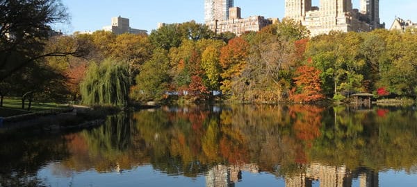
End-of-summer views around some of Central Park’s many ponds and lakes.
Central Park’s idyllic views are among the most-photographed, most-painted scenes of New York, usually expressing “nature within the city.” Yet this “nature” is almost totally invented, created by Frederick Law Olmsted and Calvert Vaux.
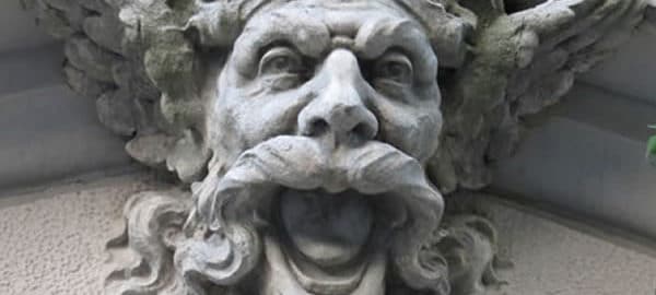
Architectural ornament takes many forms – from modest moldings to elaborate scenes and figures within a pediment or atop a cornice. One of the most delightful ornaments is the mascaron or mask, which might be realistically human or fantastic or grotesque. These faces are generally terra cotta, and may be repeating (the same face used two or more times) or unique. They add character to buildings around the borough….
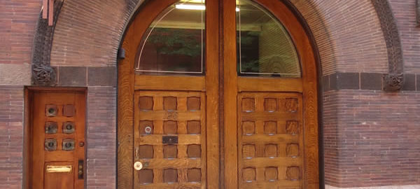
Every building has an entrance; some are more distinctive than others. Some are modest, some are grandiose; some blend in with their facades, some are colorful attention-getters. Here are some of my favorite Manhattan doors.
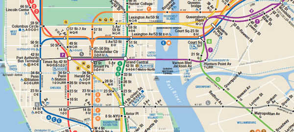
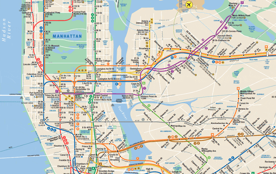
Map of NYC subway system. Download pdf version.
![]() When exploring and photographing the Big Apple’s architecture, subways are generally the best way to get around town. The ride to any point in the city is only $2.75 – a bargain compared to taxis, vans or car services, and often faster, too. You may have to stand, it may be crowded at times, but if you can follow a map this is the way to go.
When exploring and photographing the Big Apple’s architecture, subways are generally the best way to get around town. The ride to any point in the city is only $2.75 – a bargain compared to taxis, vans or car services, and often faster, too. You may have to stand, it may be crowded at times, but if you can follow a map this is the way to go.
For current fares and discounts, visit the MTA (Metropolitan Transit Authority) website. Current maps are also online to view or download at www.mta.info/nyct/maps/submap.htm; there are also subway and bus map apps that you can download to your smart phone. Old-fashioned paper maps are available at station booths for free – and they’re probably more up to date than maps sold in stores. You’ll also find permanent (stationary) maps at subway entrances, on many platforms, and on every subway car (one near each end).
But beware: MTA does most of its maintenance on weekends, so there are many service interruptions and re-routing from late Friday night through early Monday morning. You can get up-to-date information at http://travel.mtanyct.info/serviceadvisory/. Also be aware that some lines don’t operate on weekends – the B train, for example, runs 6 a.m.-11 p.m. weekdays only.
New York City buses are not for anyone in a hurry, but they do let you see more of the city if you can get a window seat. For example, the M5 bus runs from South Ferry all the way up to 179th Street and Broadway, including a 63-block stretch along scenic Riverside Drive. Weekdays, M5 runs Limited-Stop (faster) service. The M4 bus operates between 32nd Street and The Cloisters Museum/Fort Tryon Park. You can get bus maps at the MTA website, but getting a paper map is a little trickier, because buses don’t usually carry any maps. There’s no system-wide map; each borough has its own guide.
If your visit takes you to the Battery/Financial District, make a quick stop at the MTA Customer Service Center, 3 Stone Street, in lower Manhattan between Broadway and Broad Street. You can get ALL bus and subway maps there. The center is open weekdays, 9 a.m.-5 p.m. [map] The R train Whitehall Street station has an exit right on the corner (contrary to Google map, the N train no longer stops there); the Bowling Green station of the 4 and 5 trains are also close by.
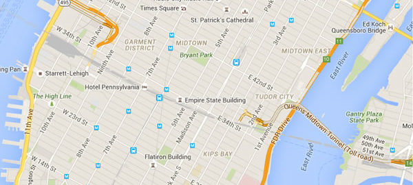
New York City has five boroughs; each borough has several subdivisions and within subdivisions are the neighborhoods. Neighborhood boundaries are not always clearly defined, so a particular block might be considered part of two neighborhoods. Many New York City Neighborhoods originally reflected ethnic concentrations – Chinatown and Little Italy being the best-known examples. Other neighborhoods were named by their original (or early) owners, such as Chelsea. But some “neighborhoods” are marketing inventions, designed to enhance the image and desirability of real estate.
“AIA Guide to New York City” divides the city into 31 sections comprising 204 neighborhoods or precincts. Rather than re-invent the wheel, we’ll try to stick to that organization in NewYorkitecture.com. Just be aware that the neighborhoods named in this site won’t always agree with your favorite map or guidebook. (Of course if you make “AIA Guide to New York City” your favorite guidebook, problem solved!)
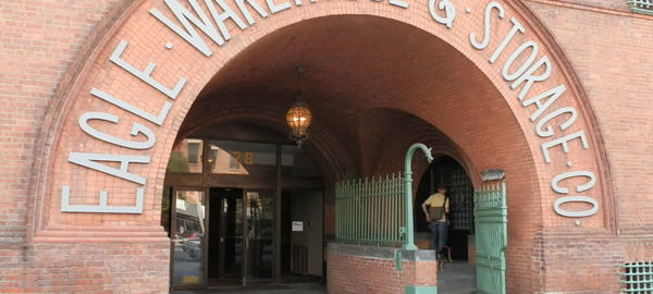
ARCH: A load-bearing device used to span voids in walls or other structures. The arch works by redirecting its load so that the supporting material is under compressive stress instead of shear or tensile stress. Most building materials are many times stronger in compression than in tension or shear, so arches help designers build taller, lighter structures.
Arches are so important, one is tempted to believe that arch is the root of the word architect.
Mere coincidence. Arch is from the Latin arcus – arrow; architect is from the Greek architekton – master builder, according to my Webster’s. That’s altogether appropriate, because the Romans gave us the arch, but the Greeks gave us architecture as a science and profession.
Arches come in many forms, but the most important distinction, from the standpoint of architectural style, is whether the peak of the arch (crown) is curved (Roman, Romanesque, Romanesque Revival) or pointed (Gothic, Gothic Revival). There are also flat arches (having very slightly elevated crowns). Join a series of arches end-to-end and you have a gallery; join a series of arches side-to-side and you have a vault; join a series of arches rotated through 180 degrees and you have a dome.
Here are a few examples from structures in New York City.
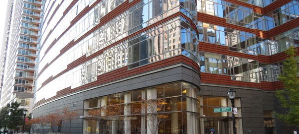
Battery Park City was built on landfill – the ground removed for the original World Trade Center excavations.
The architecture, naturally, is all new – post-1980. But the interesting part of Battery Park City is how its apartment and commercial buildings have been combined with green space: there really is a park in the middle of Battery Park City.
The Esplanade is the park’s backbone, running from Battery Place up to Chambers Street along the Hudson River. It is a link in the growing “Greenway” bike/pedestrian path along most of New York’s waterfront.
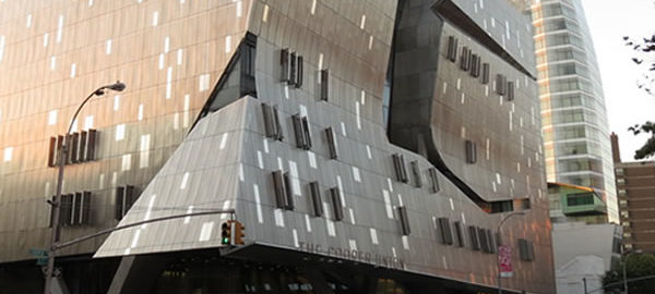
The Cooper Union Foundation Building has New York City and National landmark status, as the first building in the U.S. to use steel beams. Across the street on Cooper Square is the equally striking Arthur Nerken School of Engineering. Next door is sail-shaped Cooper Square Hotel.
It seems that every block in the area has a landmark – or future landmark – building. Hey, even the local K-Mart is in a landmark building, the former Wanamaker Department Store Annex.
Here’s a brief tour to whet your appetite.
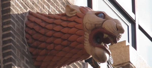
If you really want to see New York City, you have to look around: Look behind you – it’s easy to miss details when you’re always looking forward. And for goodness’ sake, look up! Amazing sights await those who lift their eyes to the skies!
Here’s a small sample.
You must be logged in to post a comment.